


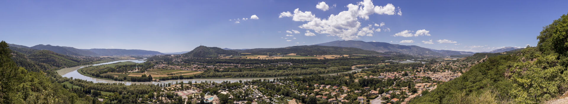
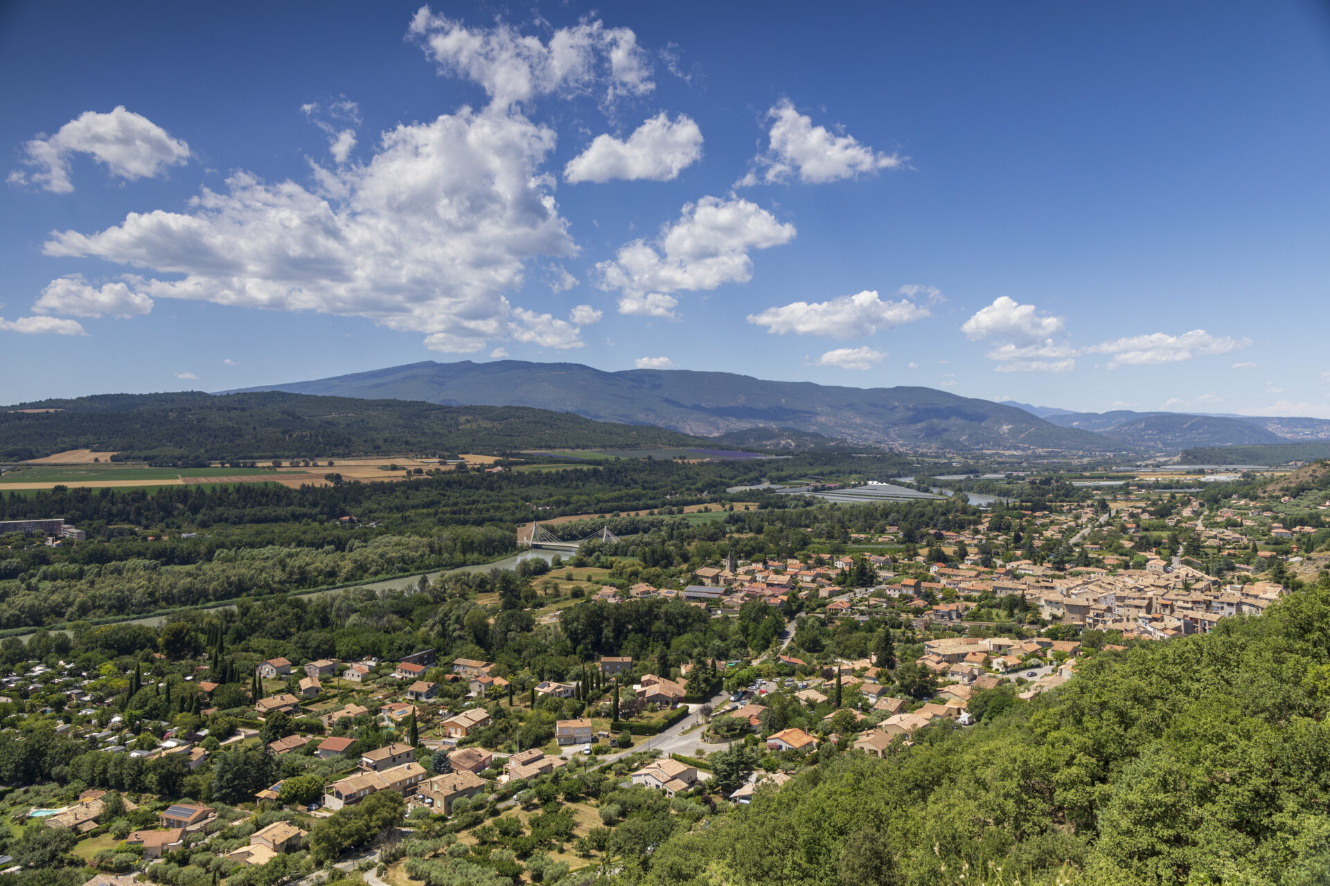
This panorama is one of the landscape interpretation sites of the Haute Provence Geopark. It provides a better understanding of the geological formation of this valley of the Middle Durance.
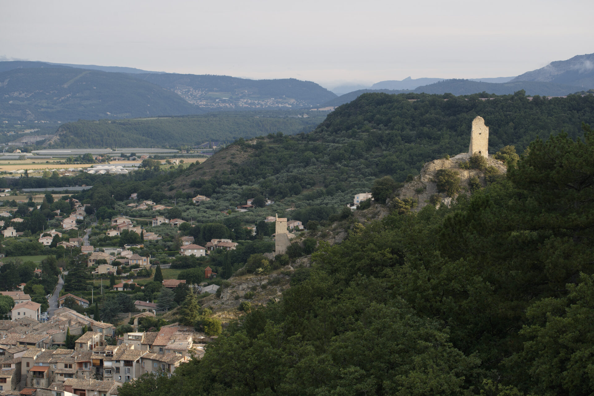
Downstream from Château-Arnoux, the river’s almost rectilinear course is guided by the Middle Durance fault, which cuts through the earth’s crust over several kilometers. Formed 300 Ma ago, this fault divides Haute-Provence into two blocks – the Valensole plateau to the east, and the mountains and hills to the west – which have constantly risen and fallen in relation to each other. 30 Ma ago, the play of the fault led to the collapse of the western block, giving rise to the Manosque-Forcalquier basin. Meanwhile, the eastern compartment formed a high zone from which pieces of relief, such as the Saint-Jean rock at Château-Arnoux, slid into the basin.